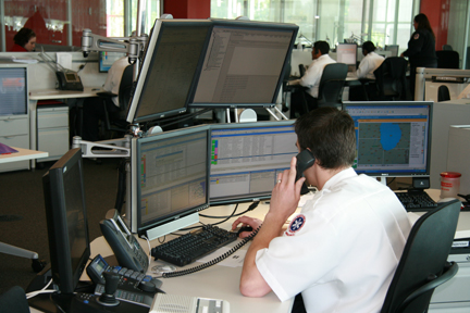
RIMS CAD supports communications and operations unique to fire/EMS agencies.
KEY FEATURES
- Station run card based unit recommendation (Geography, Fire/EMS Incident Type, Fire Response Type). Response types can be specific to a Station Card to deal with locations like Malls – that might have a different response (e.g., requiring more units).
- Multiple alarm unit recommendation to 6 alarms.
- Unit Recommendation based on GPS (proximity based) – using Google Maps to get real-time driving distance for each unit type needed – which includes traffic conditions. Add KML layers to incorporate weather/radar information.
- Ability to store Premise information – including Fire Alarms, Cameras, Photographs, and Attachments. Attachments can include PDFs of Pre-Fire plans – available from dispatch or the mobile.
- Units can be “paired” to another unit – so that if one unit is dispatched or changes status, the same occurs to the other unit (e.g., Grass unit responds with Engine).
- Units can respond as other types of units (e.g., An Engine can also respond as a Truck).
- Units can be cross-staffed – so that if that unit is dispatched, it will take the other associated units and put them out of service – essentially putting the station out of service.
- Incidents can be duplicated from Law to Fire or Fire to Law. Comments can be added from the command line to Law, Fire, or both.
- When a Fire User signs into RIMS, they can be restricted to just view Fire related calls. With security, they can also manage Fire Unit information.
- RIMSMap can be displayed in the fire bay – and automatically zoom to the assigned call on the map. It can also used to create pin maps, heat maps, hot spot analysis maps, use cluster analysis tools, create charts, etc.
- Agency specified incident types automatically create both law and fire/EMS incidents simultaneously


