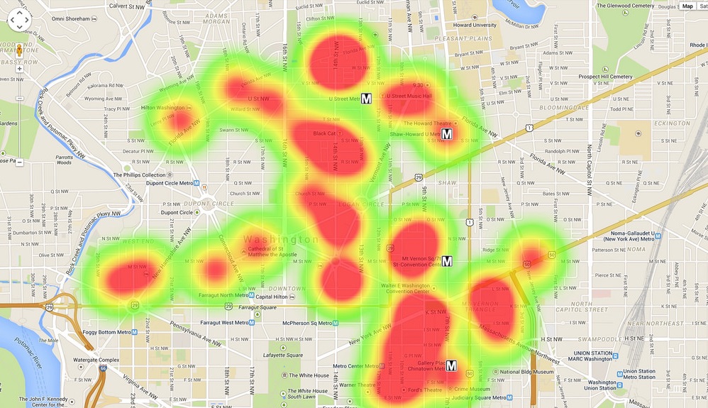
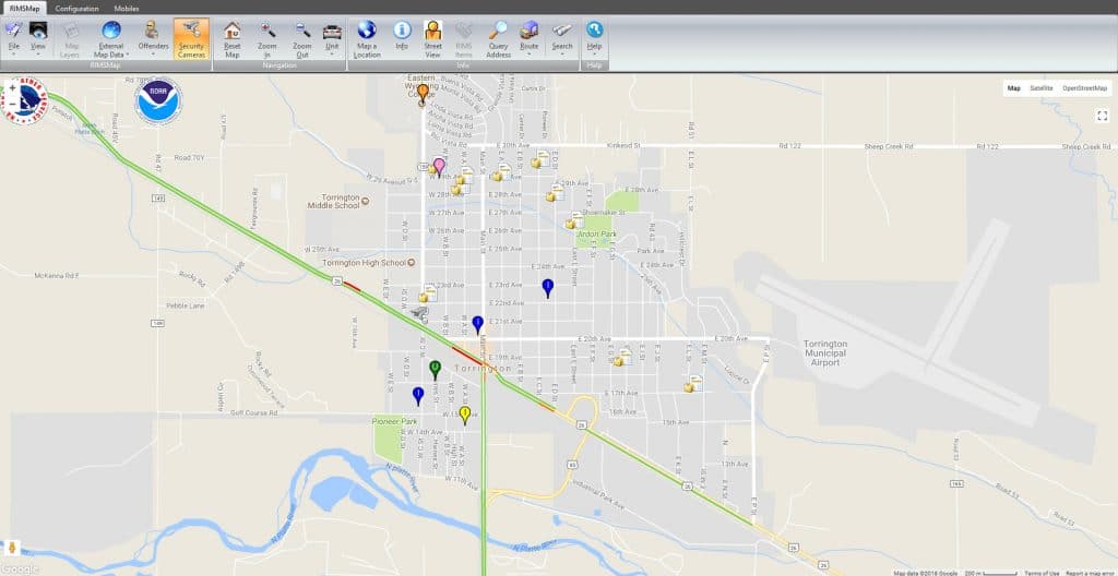
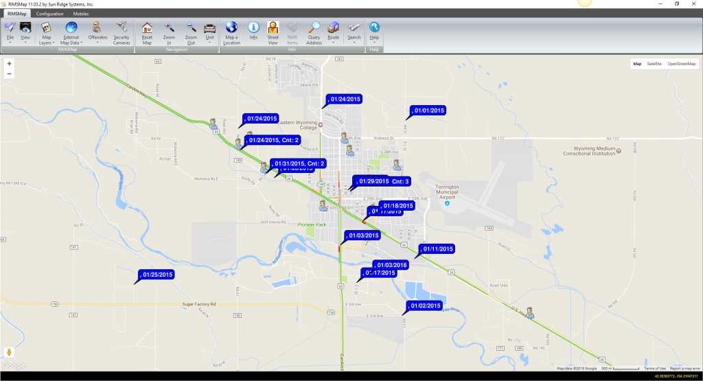
Many public safety software programs on the market today require stand-alone applications to analyze data. With RIMS, crime and statistical analysis features are built directly into our applications. Merge the powerful data mining features of our integrated applications with Google Maps and ESRI to visualize your research.
KEY FEATURES
- Searches
- Pin Mapping
- Defining Search Areas (ArcGIS)
- Display Offender Information
- Sex Offenders
- Gangs & Gang Offenders
- Known Offenders
- Arsonists
- Tresspassers
- Probation & Parole Offenders
- Plot Security Cameras
- Heat Maps
- Hot Spot Analysis (ArcGIS)
- Cluster Analysis
- GPS Data Collection
- Geo-Fencing


Common Uses
- Administration
- Internal Administrative Reports
- Grant Reports
- City/County Officials
- Community Organizations
- Operational
- Tactical
- Strategic
- Identify Incident and Offense Patterns
- Deploy Resources Effectively
- Devise Solutions
- Formulate Strategies
- Predictive Policing
- Examine Officer Patrol Patterns
- Display Premise Hazard Information
- Identify Trends
Easy to use. Any RIMS user can compile data to chart or export results. Additional abilities include:
- Crime analysis using CAD and RMS data
- Link hot spots, routes, and times enhancing your ability to strategically deploy resources
- Create charts and present crime data in a format easy to understand by your agency. community leaders, and your community
- Create calendars
- Evaluate data for Geospatial and Temporal Analysis
ESRI Mapping
- Free layers from ARCGIS, Aerial Layers
- Agency configurable layers


Google Maps
- Split Screens for Aerial and Street View
- Import KML Layers (National Weather Alerts/RADAR)
- Live Traffic Patterns
Pin Mapping
Pin mapping is an easy way to quickly display and correlate data on a map. With our integrated tools, you have access to more than 240 symbols to illustrate your data. Illustrate data in Google Maps or build on existing ESRI ArcGIS mapping features.

Data Sharing
An important component to crime analysis is the ability to share and analyze your data using other local, regional, or national data sets. Export data to a variety of regional data-sharing programs including:


Social network analysis [SNA] is the mapping and measuring of relationships and flows between people, groups, organizations, computers, URLs, and other connected information/knowledge entities. RIMS RMS automatically creates associations and allows users to define SNA connection types. This information can then be exported to the ORA, a meta-network and analysis tool used to identify relationships.
- Sophisticated Criminal Networks
- Narcotics or DTO Investigations
- Gang Investigations
- White-Collar Crime
RIMS Crime Analysis is supported by these RIMS applications:
- RIMS CAD
- RIMS RMS
- RIMS Map (ESRI/Google Maps)
- InCustody JMS
- Mobile RIMS

